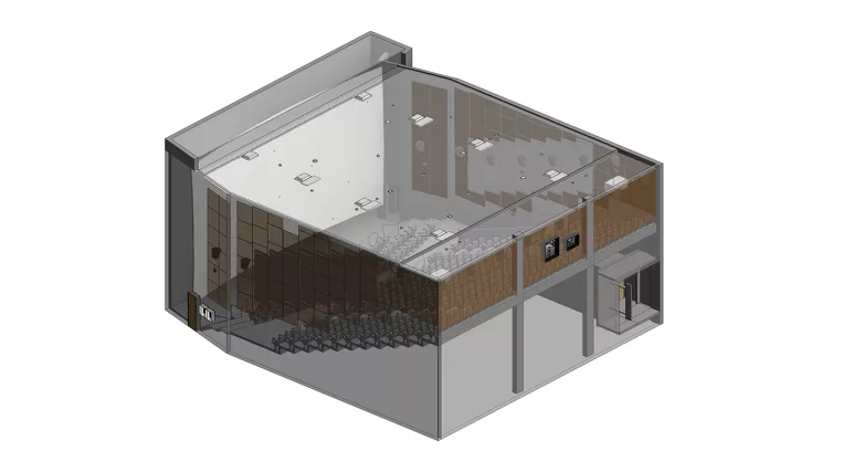
The main task was to accurately represent the amphitheater, the exterior parts of the surrounding buildings, and the topography. However, the process was met with several challenges due to the complexity and quality of the input data.
Firstly, the input consisted of two different point clouds: the main point cloud, which was black and white, unclear, and had missing areas; and a secondary point cloud, which was colorful but contained extensive vegetation with leaves. Merging and cleaning the data from both sources required extensive effort to create an accurate representation of the landscape.
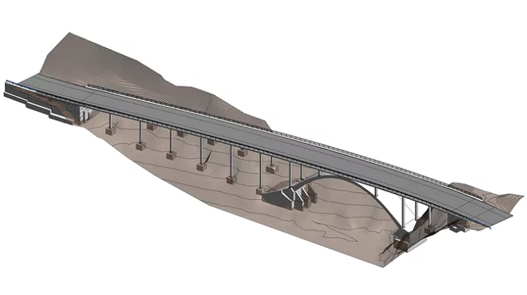
Secondly, the scale of the project added another layer of difficulty. The automatically generated topography resulted in an extremely dense network of topography elevation points, which significantly affected Revit’s performance and frequently caused the software to crash. To solve this, the team had to employ strategic data optimization techniques to manage the heavy load while maintaining precision in the final model.
To address these issues, ORIGIN took the following steps:
- Topography optimization. As a result, the number of points was reduced from 25,000 to 5,900, significantly improving performance.
- Point cloud processing. We separated the topographic surface from the buildings in the point clouds for a clearer distinction between terrain and structures. Also, we eliminated unwanted elements such as debris and vegetation using CloudCompare.
- Topography modeling. Using a ScanTerrain plugin helped us optimize the terrain density and ensure a more accurate representation of the landscape.
- Amphitheater modeling. We modeled the amphitheater and its surrounding buildings in Revit using standard methods and families.